
Sub-Division at a Glance
Administrative Profile
- Status: Civil Sub-Division
- C&RD Block: Jirang Block
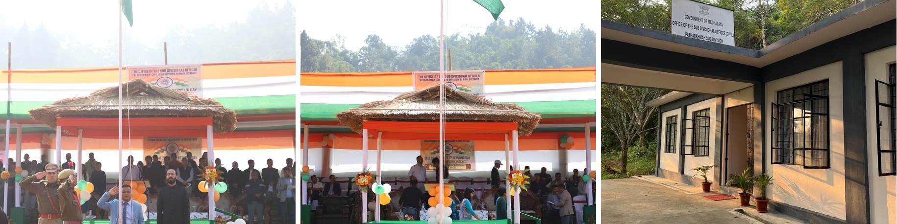
- Headquarters: Patharkhmah
- Traditional Authority: Jirang Syiemship, Nongspung Syiemship, Sohiong Syiemship, Myriaw Syiemship, Nongkhlaw Syiemship
- Key Offices: SDO (Civil), SDPO, Community Health Centre (CHC)
Geographical & Demographic Highlights
| Topography | Rolling foothills and fertile lowlands |
|---|---|
| Climate | Tropical / Sub-tropical; warmer and more humid than Shillong |
| Principal Tribes | Khasi (Bhoi), Jirang, Karbi, Rabha |
| Language | Khasi (Bhoi dialect), English, Assamese |
Economy, Infrastructure & Connectivity
Economic Pillars
- Cash Crops: Ginger, Black Pepper, Broom Grass
- Horticulture: Pineapple, Banana, Areca Nut
- Emerging Industry: Rubber plantations
Connectivity
- Distance to Shillong: ~85 km
- Distance to Guwahati: ~60 km
- Key Roads: Nongpoh–Patharkhmah Road, Jirang–Guwahati Road
Notable Features
- Inter-state cultural and commercial exchange with Assam
- Eco-tourism potential with forests and river systems
Fact Sheet of Patharkhmah (Jirang) Region
Population & Demographics
| Total Population | ~42,000 – 45,000 |
|---|---|
| Total Households | ~8,500 |
| Literacy Rate | ~68% – 72% |
| Sex Ratio | ~960 females per 1000 males |
| Number of Villages | 125+ |
Land Use & Agriculture
| Fruit | Pineapple (Kew/Queen), Banana, Litchi |
|---|---|
| Spices | Ginger (Nadia), Turmeric, Black Pepper |
| Plantation | Rubber, Betel Nut, Teak, Broom Grass |
| Staple | Lowland Paddy (Sali & Ahu) |